
 Come together with the global Drupal community in Rotterdam, 28 Sept – 1 Oct 2026. Sessions, contribution, connection, and Early Bird savings until 8 June.
Hello,
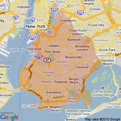
I have a node type called restaurants for an online food ordering site which has a taxonomy free tagging area. I tag all the street names that the restaurant delivers to. Considering this information, I'm trying to build a gmap macro (with "Lines" or "polygonal area tool") which draws lines, polygons on each tagged address (street name) automatically. Is it possible to do sth. like this?? Maybe the pictures that I have attached will be better to tell my problem.
| Comment | File | Size | Author |
|---|---|---|---|
| Something Like This 2 | 71.86 KB | egunay | |
| Something Like This | 69.62 KB | egunay |

Comments
Comment #1
JayKayAu commentedThis is a really interesting problem. I'd love to know how this would be done too..
Comment #2
rooby commentedJust doing a bit of issue queue maintenance.
Support and feature requests are not critical. For more information see http://drupal.org/node/45111