Store Geospatial Data
Last updated on
30 April 2025
A field type called Geospatial Data is available in Cartaro and can be used to define custom content types. Those fields can hold map features of common types and contain an unlimited number of features, each. You would define your content structure as usual but also add Geospatial Data
fields.
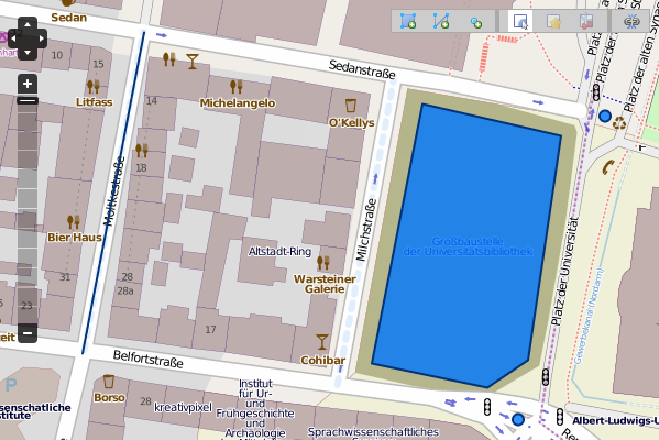
You can choose to either provide or view your data as WKT or on a map. WKT is a simple text base format to specify spatial data. An example of using a map for editing with point, line and area features follows.
More information can be found in the documentation of the PostGIS module.
Help improve this page
Page status: Not set
You can:
You can:
- Log in, click Edit, and edit this page
- Log in, click Discuss, update the Page status value, and suggest an improvement
- Log in and create a Documentation issue with your suggestion
