
This project is not covered by Drupal’s security advisory policy.
Overview
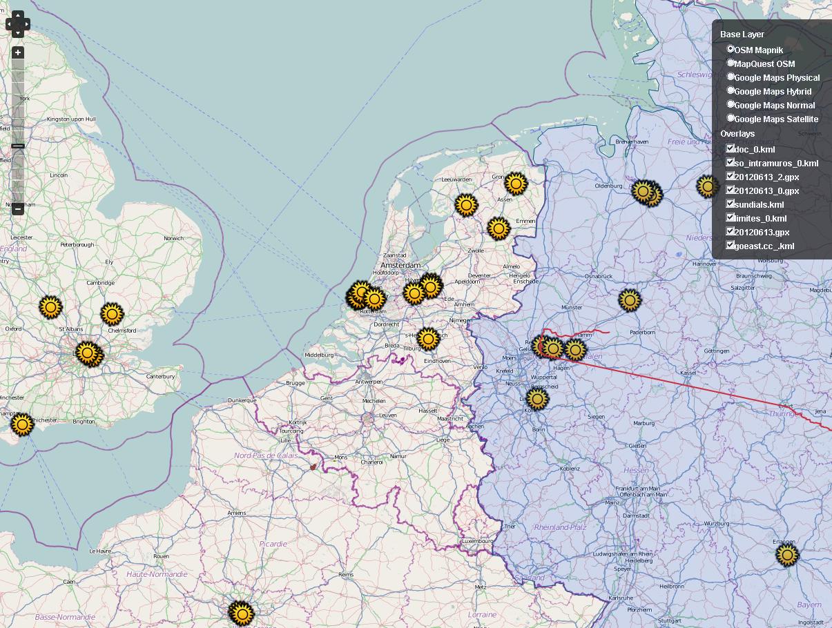
This module allows you to display files such as KML or GPX on a slippy map.
It's using the excellent Openlayers module to display those data on maps.
Features for Drupal 7
This module provides:
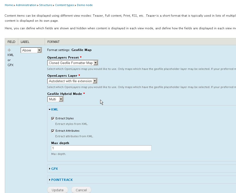
- A formatter for filefield: Geofile Map
- A view style to display results on a map through the Geofile Viewssub module.
- An hybrid layer for Openlayers: allows you to store features from layers into a single layer.
Requirements
- Openlayers 2.x-dev
- GeoPHP
- Views: Optional, only for Geofile Views
Related modules
Future
This module will be probably refactored for the upcoming version of OpenLayers.
Patches are welcome.
Project information
 Unsupported
Not supported (i.e. abandoned), and no longer being developed. Learn more about dealing with unsupported (abandoned) projects- Obsolete
Use of this project is deprecated. - Module categories: Site Structure
 16 sites report using this module
- Created by Pol on , updated
 This project is not covered by the security advisory policy.
Use at your own risk! It may have publicly disclosed vulnerabilities.


