 Support for Drupal 7 is ending on 5 January 2025—it’s time to migrate to Drupal 10! Learn about the many benefits of Drupal 10 and find migration tools in our resource center.
Experimental project
This is a sandbox project, which contains experimental code for developer use only.
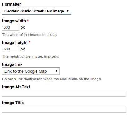
Extends geofield with formatters to display location(s) as a map or as streetview images via Google's Static Maps API.
Each Map formatter has extensive options including size and a link (either to the content page, or to Google Maps).
Requirements
Notes on Google's Limits and Restrictions
Use of the Google Static Maps API is subject to a query limit of 1000 unique (different) image requests per viewer per day. For the full restrictions, see http://code.google.com/apis/maps/documentation/staticmaps/.
Project information
- Module categories: Site Structure
- Created by jlyon on , updated


