
This project is not covered by Drupal’s security advisory policy.
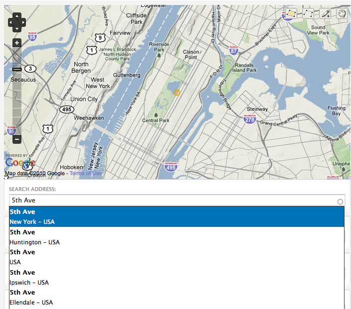
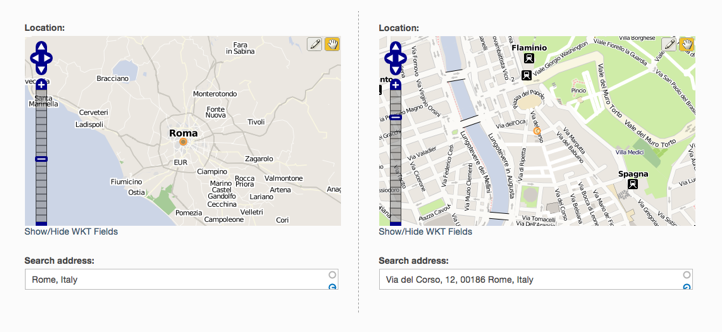
This module extends OpenLayers CCK input widget allowing to mark a location on the map by simply providing its address.
The integration with Token module allows to auto-fill other text CCK fields on the node submission page with values coming from the geocoding response (like city, country, postal code, administrative areas, etc...). Text and select widgets are supported.
Related Modules
OpenLayers Proximity: geographical proximity search for the OpenLayers module.
Project information
- Project categories: Site structure
 7 sites report using this module
- Created by ademarco on , updated
 This project is not covered by the security advisory policy.
Use at your own risk! It may have publicly disclosed vulnerabilities.


