
This project is not covered by Drupal’s security advisory policy.
This module consists of a bunch of GPX related submodules:
- gpx rename: Renames the waypoints in a gpx file to YYYY-MM-DD-original_name-number format.
- gpx parser: This is only an API to parse the gpx file into a GpxFile object, where one can easily access its waypoints, tracks and other data with geoJSON support.
- gpx node creator: Creates a waypoint and a track content type, and creates waypoint and track nodes from gpx files. If set, it also tags waypoint nodes according to their symbol. If you want to use the tagging feature, don't forget to associate a vocabulary with its term reference field before creating waypoints.
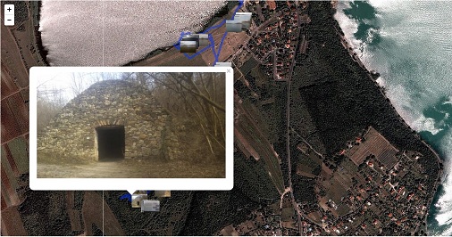
- gpx image: This module relies on the Track nodes created by gpx node creator. The user can set a specific image field (or filefield), a geofield and a date field (currently only Unix timestamp), and the module reads the exif data of the image, and tries to populate the geofield from the exif GPS data. If that is not found, it queries all the Track nodes of the user that correspond to the time of the image, and calculates the coordinates based on the time. The user can specify a time offset on the Track node if the clocks of the camera and the gps are not synchronized. After applying the patch on the leaflet module, you can display the images on a leaflet map.

- gpx formatter: A field formatter for file fields, that displays the gps symbols with the help of the leaflet module.
I have tested the module with a garmin 76CSX device, but should work with similar devices too.
| Attachment | Size |
|---|---|
| gpx_image_screenshot.jpg | 82.65 KB |
Project information
- Project categories: Site structure
- Created by balagan on , updated
 This project is not covered by the security advisory policy.
Use at your own risk! It may have publicly disclosed vulnerabilities.

