
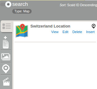
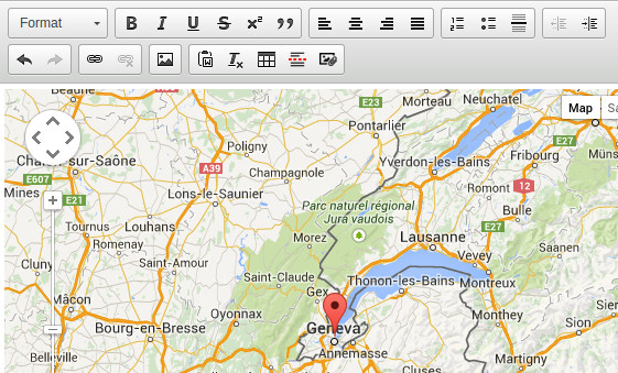
This module introduces a map provider for the scald module.
It can display a predefined address on a map.
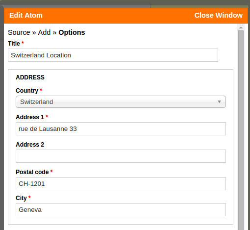
It uses the addressfield module to let the user define a postal address. The address is then geocoded using the geocoder module and the latitude and longitude coordinates are then stored using the geofield module. It uses the geofield map module to display the coordinates on a google map.
INSTALLATION
Scald map depends on the following modules:
- Scald version 1.4 or higher
- Geofield 2.x branch
- Geocoder
- Entity API 1.7 or higher
- Addressfield
Integration has been done with the Leaflet module as a separate player. In that case the latest version of the Leaflet module is required.
Project information
 20 sites report using this module
- Created by nagy.balint on , updated
 Stable releases for this project are covered by the security advisory policy.
There are currently no supported stable releases.
